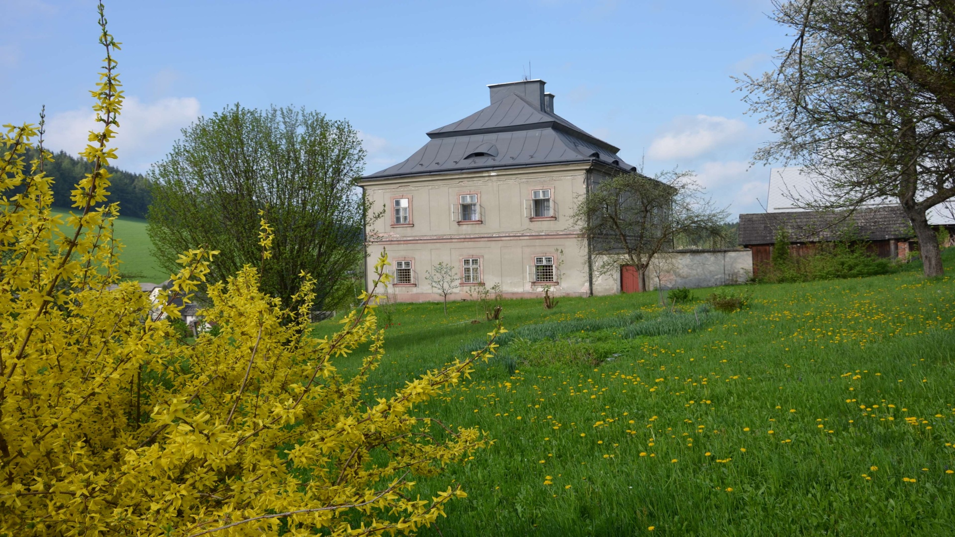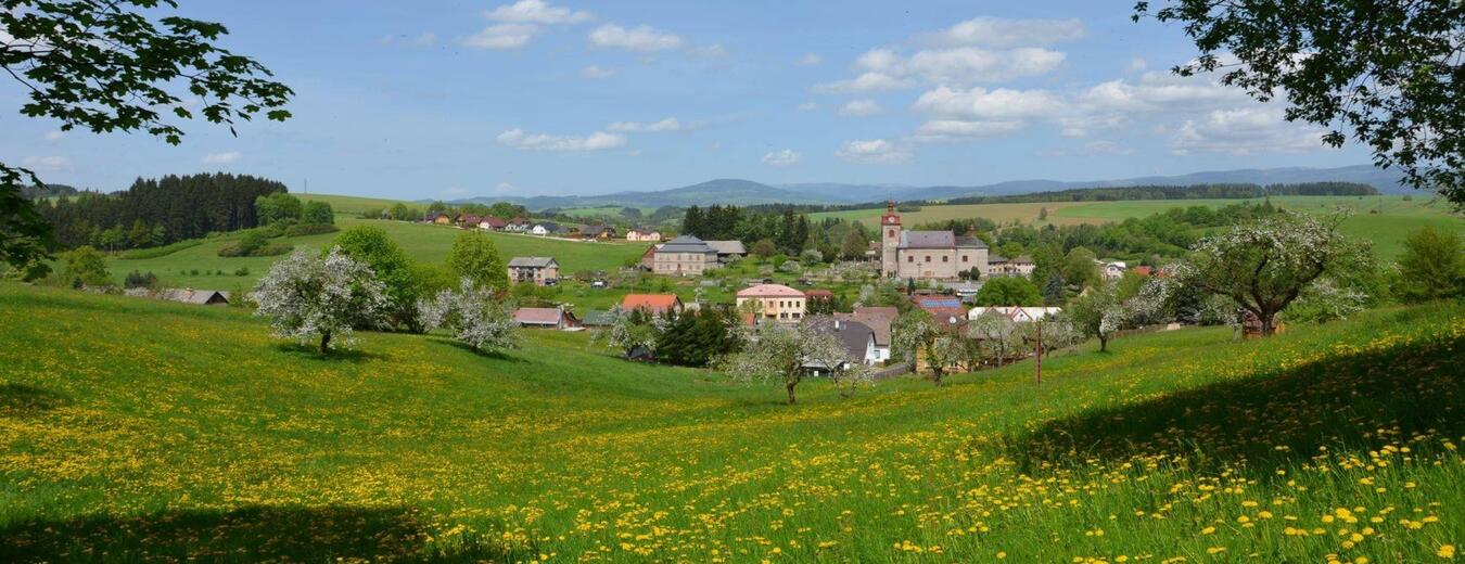


Dolní Kalná
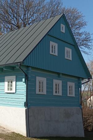
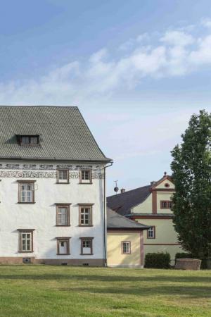
The village of Dolni Kalna is situated in a picturesque valley with two brooks and is surrounded by forested hills reaching 497 m a.s.l. It is a popular place for family holidays. Its location makes it an ideal starting point for visiting the Krkonose as well as the foothills region, the Czech Paradise and the area around Zvicina hill.
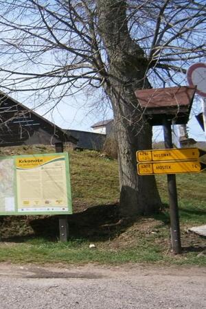
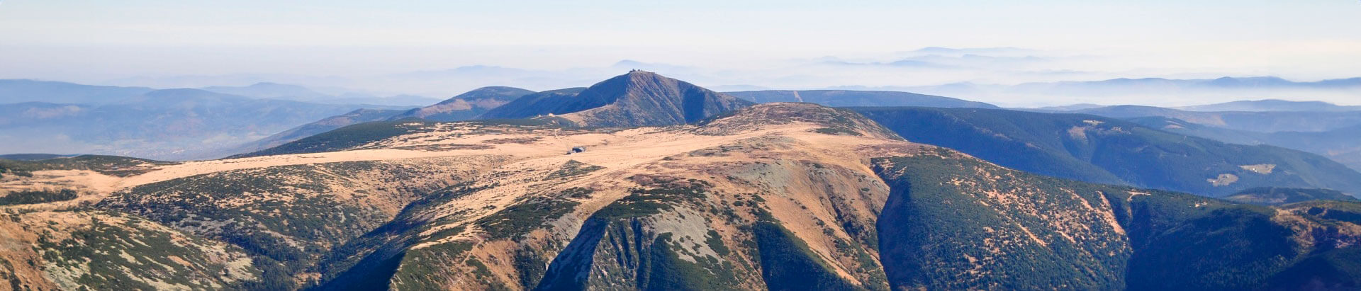
Panoramic Views of the Krkonose
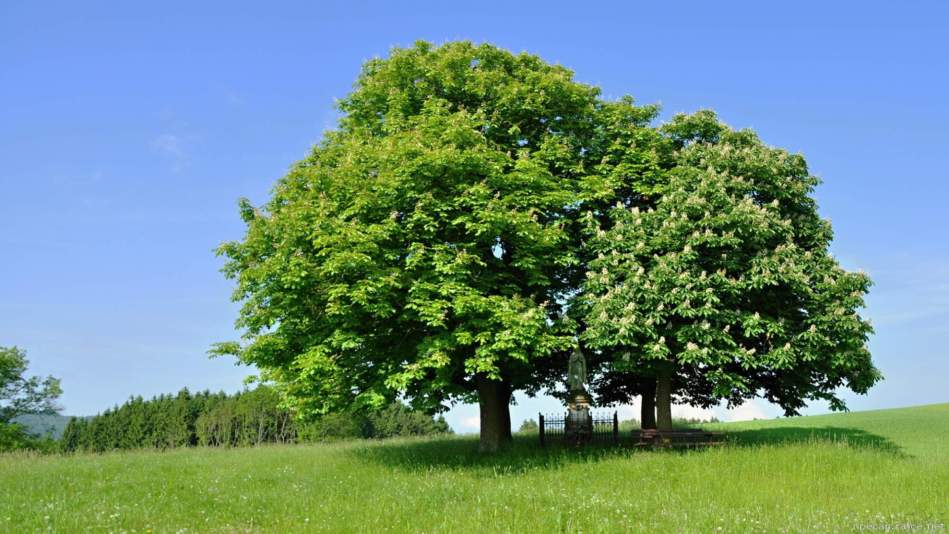
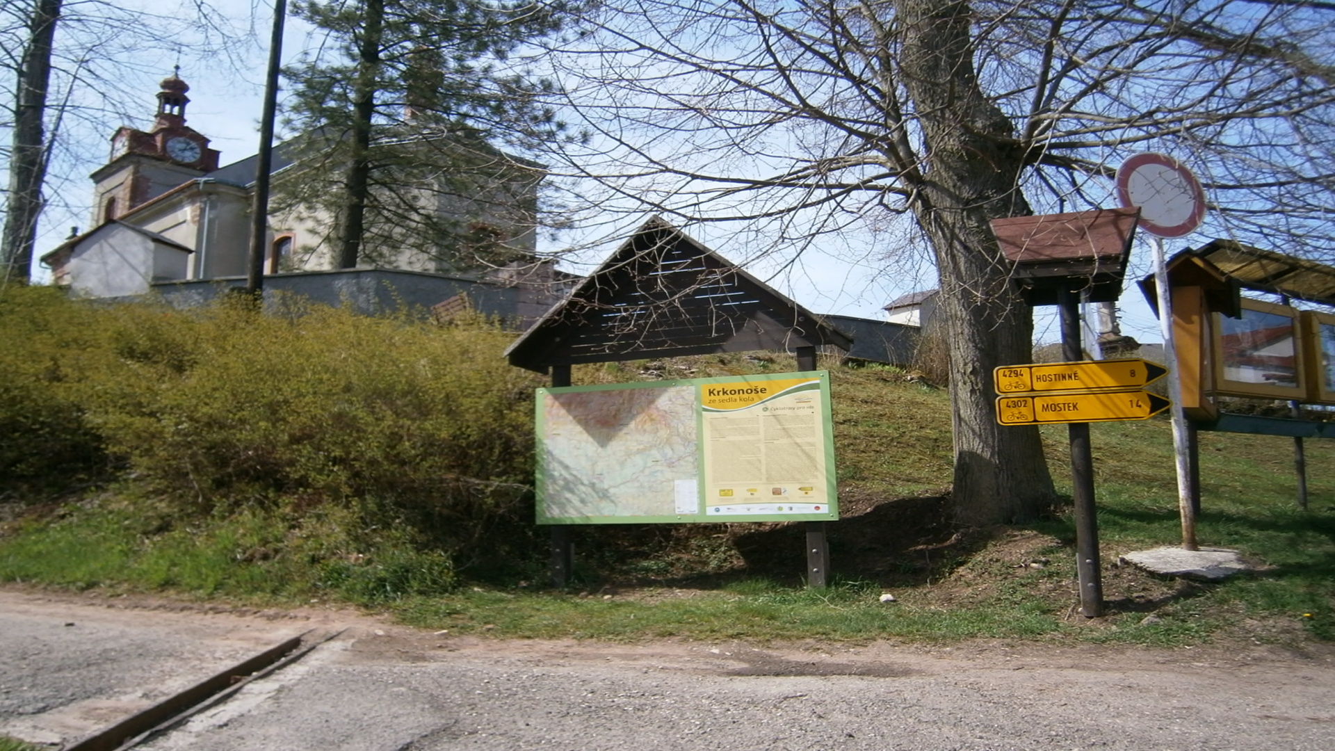
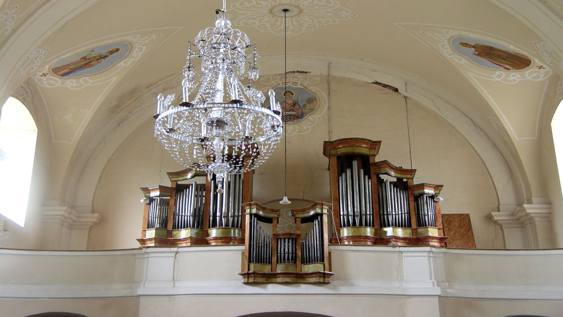
The village is dominated by the Baroque parish church of the Visitation and St. Wenceslas, built on the foundations of an older Protestant church that was first mentioned in the 14th century. The pedagogue J. A. Komensky used to preach here before he emigrated to Poland. An old path called Pricnice used to run near the village, later to connect Kuks and Horni Branna and other places towards Harrachov. Parts of the path are accessible today, and when the weather is good it offers good panoramic views of the Krkonose and the adjacent parts of the Jizerske Mts. and Orlicke Mts. In the other direction, the hills Bradlo, Zvicina, Staropacka hora and, exceptionally, also Jested can be seen.
By Bike, on Foot and in the Air
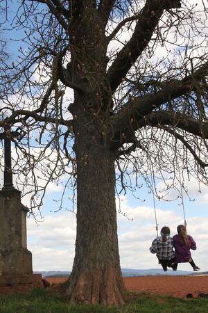
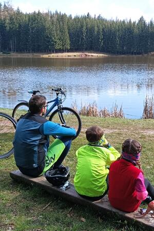
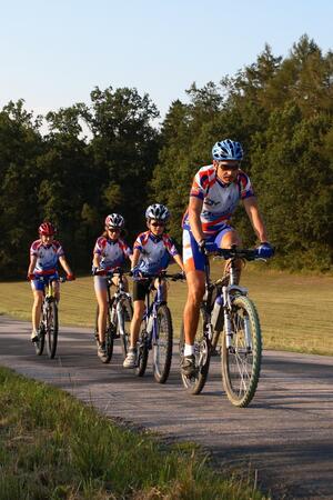
There are many attractive hiking and biking destinations around the village, for which cycling trails as well as more demanding tracks for mountain bikes can be used. There are many pleasant spots around Dolni Kalna and Slemeno, attracting those who are keen on walks and hikes in the countryside, and the local forests are a popular destination for mushroom pickers. Cross-country skiing tracks are groomed in winter. The paragliding school in the village offers tandem flights upon prior arrangement.
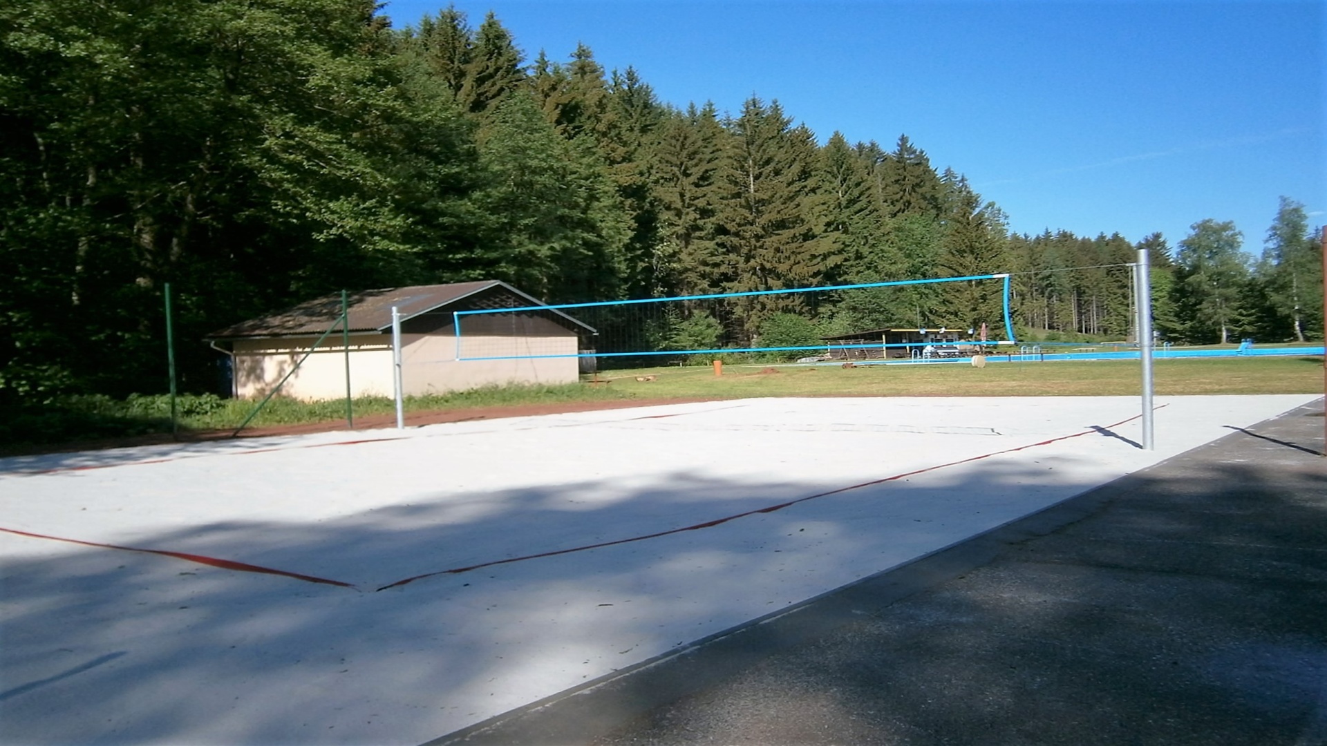
The auto camp and the swimming pool in the forest are used for sports and recreation. The facility also offers footbal ground and sand court for beach volleyball.
Useful links
Information
543 74 Dolní Kalná